Footprints Across Scotland
Why not make a few of your own!
3rd & 4th October 2015
A long walk out to Mullach Clach a'Bhlair from Linn of Dee, camping on Moine Mhor and returning over The Devils Point.
Route Map
I was looking for a bit of a leg stretcher and this certainly did the job. The midge at the Linn of Dee were just about as bad as Ive seen, there was much flapping and waving of arms going on as people hurriedly prepared for the hills.
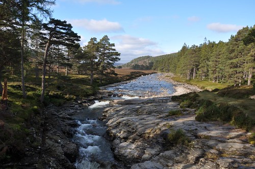
River Dee at Linn of Dee
It looked like a guide was giving a bit of a talk in amongst the heather just off the path as I started west along the banks of the Dee, Im not sure if anyone was paying much attention as most seemed preoccupied with the flying beasties. A short way down the track a breeze picked up and I manage to lose the remaining hangers on. Unusually there were some people carriers parked at White bridge with most of the occupants up around the falls at the Chest of Dee, must have been some sort of open day run by NTS.
River Dee & Beinn Bhrotain
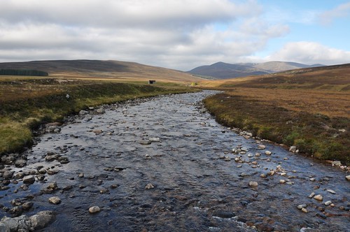
Shortly after crossing the Dee my way turned west to one of its tributaries, the Geldie burn.
Geldie Burn
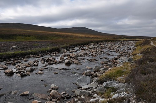
The skies above had greyed significantly but the cloud remained high, whilst looking back toward Braemar the sun was still shinning. The track continues on its way as far as the ruins of Geldie lodge but a path develops shortly before the track crosses the burn. A bit boggy and indistinct in places the path eventually arrived at the bridge over the River Eidart and the nearby falls. It was time for a brew and a snack while weighing up the best approach to the hills to the north. The river runs up through a gorge for a good way and hopes of finding some sort of path along its banks didnt look too promising, I would have to take a fairly direct line on my approach.
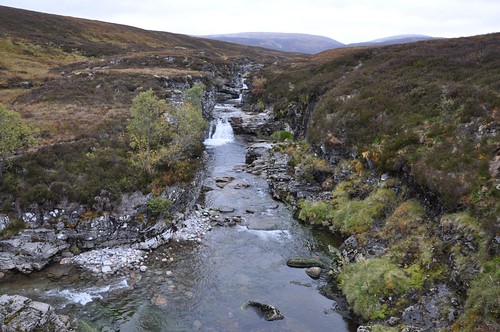
River Eidart
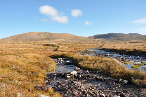
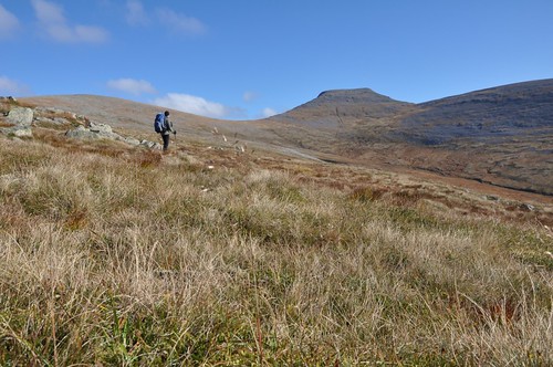
After crossing the bridge it was simply a case of making my way north, heading for the ridge leading onto Cnapen Eachan.
Mullach Clach a'Bhlair & Cnapen Eachan
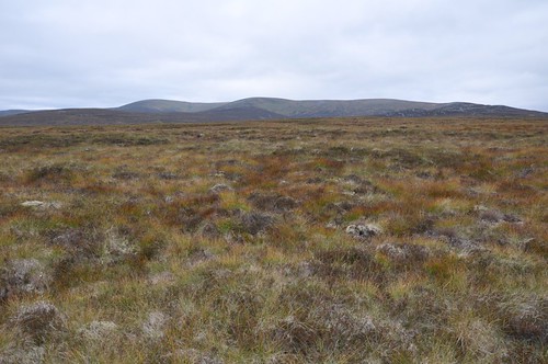
It was pretty rough going across heather covered, boggy and uneven ground. As height was gained the going eased, an ATV track then helped to gain the edge of the high plateau at the south east corner. I was now overlooking Corrie Eindart and it was now just a little over 2km to the top of Mullach Clach a'Bhlair. As I acrossed the top of Diollaird Coire Zindart dusk was now starting to settle. It was here that I unexpectedly crossed paths with a fellow walker, he still had a good way to go to get back to his tent, somewhere in Glen Geusachan. I didnt hang about on Mullach Clach a'Bhlair, despite plenty of available pitches I was out of water and intended to camp further on.
Sgor Gaoith from Mullach Clach a'Bhlair
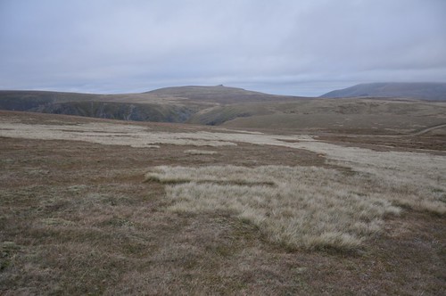
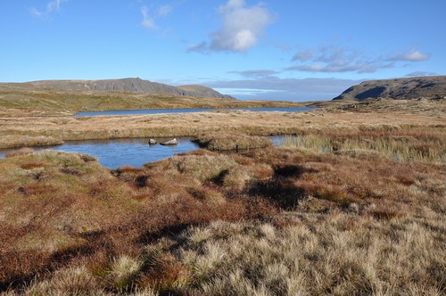
While fording Caochan Dubh I replenished water supplies before making a final climb of the day. Further up the slopes I watched as a roaring stag stomped around trying to impress his harem. Up on Moine Mhor I soon found a good place to erect the tent and had it up in quick time. The temperature was starting to drop and the mercury soon went sub zero as the skies cleared to reveal the stars. I awoke to frost on the tent and a layer of ice on nearby pools but the outlook was good as I watched the sun rise over Braeriach. Sgor Gaoith came out of the shadows and took on a reddish hue.
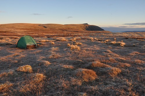
First light, Sgor Gaoith
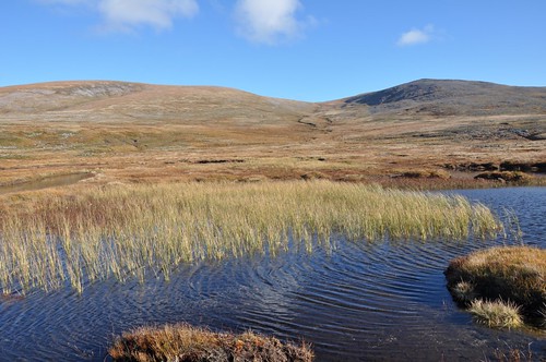
Mindful that I had a lot of walking to do I headed off strait after my porridge. After wandering over toward the edge of corrie Odhar to get a closer look at Sgor Gaoith I made my way to Loch na Cnapan.
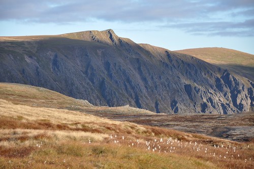
Sgor Gaoith
Sgor Gaoith from Loch na Cnapan
The day was warming nicely as I picked up Allt Luineag, heading into a natural amphitheatre created by the slopes of Carn na Criche, Sgor an Lochain Uaine and Cairn Toul.
Carn na Criche, Sgor an Lochain Uaine & Cairn Toul
Carn na Criche, Sgor an Lochain Uaine
There was a lovely atmosphere here and I was really enjoying my stroll through the grasses, finding it fairly easy going. Soon enough however I was just above the shores of the nicely situated Loch nan Stuirteag. Last time I passed this way a couple of campers had pitched up at a fine spot on the north east shore.
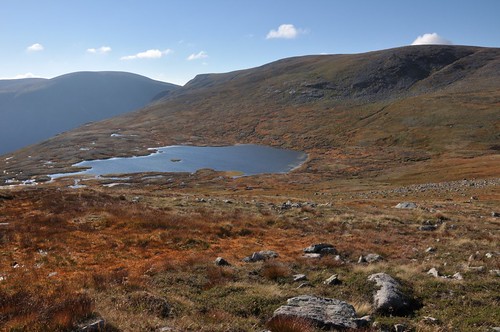
Loch nan Stuirteag
Allt Clais an t-Sahhail springs from the slopes of Cairn Toul before running out of the corrie.
Cairn Toul from the back
Instead of dropping into the elongated corrie I decided to keep a high line and work my way around. Just before turning out again I decided it was time for a sit and a brew whist taking in the view out to the loch and Monadh Mhor.
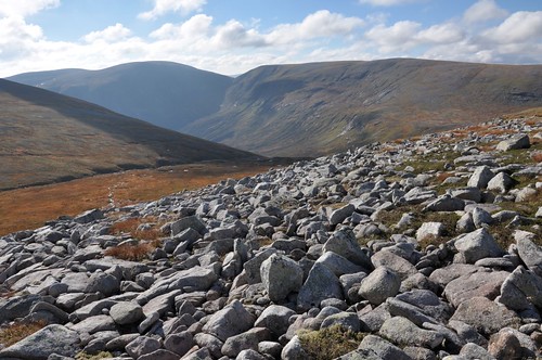
Glen Geusachan
It was a little bit boggy for a section before it became rockier as I contoured Stob Coire an t-Saighdeir but once onto Buidheanach of Cairntoul it was again onto cropped grass on these hillsides overlooking Glen Geusachan.
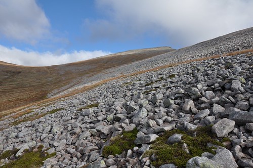
Cairn Toul
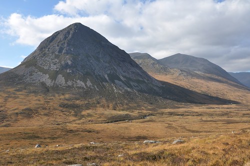
The Devils Point was now in view, not at its impressive best from this angle.
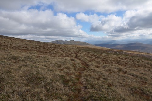
Crossing Buidheanach of Cairntoul to the Devils Point
There had been plenty of small groups of Ptarmigan about on the walk but there must have been more than a dozen at the Bealach between The Devils point and Cairn Toul. One female kindly allowed me to get close enough to take a photo, she even started feeding again, seeming unperturbed.
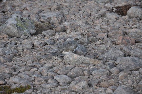
Camouflage
The views as ever from the top of the Point were spectacular, Cairn Toul towering above to the north while across the Lairg Ghru was the massif of Ben Macdui.

Cairn Toul
Rays of light played across the Dee to the south while Beinn Bhrotain was standing aloof in silhouette above the entrance Glen Geusachan.
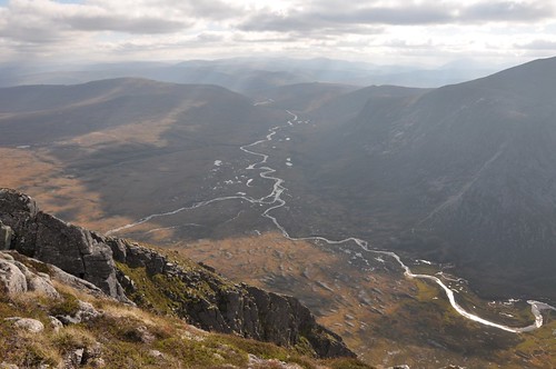
Glen Dee from Devils Point
Three guys appeared and we enjoyed a chat before heading down through Corrie Odhar to Corrour bothy.
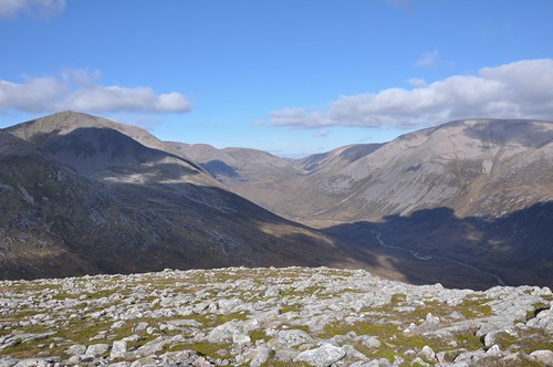
Lairig Ghru from the Devils Point
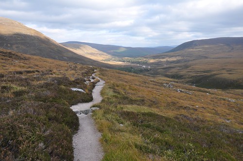
After a long last look up the Lairig Ghru I turned to follow the river south and then east all the way back to journeys end at the Linn of Dee.
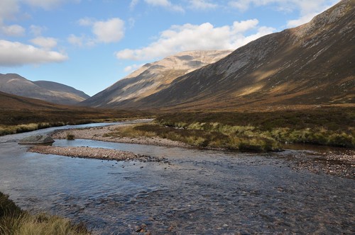
River Dee, Lairig Ghru
Devils Point
Glen Luibeg
Top Of Page
site info
© 2007-2008 Paul Sammonds. Template Design by Andreas Viklund.